![]()
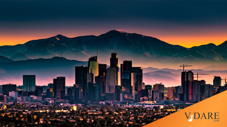
1928 vs. 2012, a mile west of the Los Angeles Coliseum and USC
Commenter jackson points out a website called “
urban diachrony” that posts before and after photos of places in Los Angeles. Here’s the pedestrian tunnel built in 1928 to get neighborhood children safely across Western Avenue to and from their school, which is located about a mile west of the L.A. Coliseum, Exposition Park, and the USC campus. This is a block north of the street now called Martin Luther King Blvd., although the last time I was there the billboards were now mostly in Spanish. (Although progressives are increasingly infatuated with
antiquarian accounts of how real estate policies of one hundred years ago determine racial realities today, the most obvious fact of the last century is massive demographic turnover in urban populations.)
After the social progress of the 1960s worked its magic, it was discovered that children were no longer safe in underground tunnels. So most of the pedestrian tunnels in Los Angeles have since been caged off. And at some point the handsome school of 1928 was rebuilt to look like a medium security correctional institution. And the school has been renamed from Santa Barbara Avenue Elementary to Martin Luther King Jr. Elementary.
Like I’ve been saying, South-Central Los Angeles poses the largest but also most daunting gentrification opportunity of the mid-21st Century.